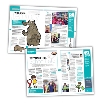

These innovative maps KS1 lesson plans will have you going on a bear hunt and exploring the area just outside your school…
Teach geography terminology with Bear Hunt
The next time you’re off on a bear hunt, think of all the geographic skills you could be developing with your class. Get started with this maps KS1 lesson plan…
It’s a wonder we haven’t hunted the poor old grizzly into extinction, such is the frequency of bear hunts in primary schools.
But the popularity of this ursine search is hardly surprising. After all, it’s so easy to tie it in to different areas of the curriculum.
Geography activities are particularly well suited to Michael Rosen’s tale of make-believe adventure. Children can re-create the landscape of the story outside of the classroom. They can then draw a map to represent the journey made.
Geographical understanding thus becomes embedded. Pupils transpose the images in their heads onto the physical world, using directional language as they do so.
Maps KS1 learning objectives
- Learn geographical terminology and vocabulary such as ‘under’, ‘over’, and ‘through’
- Develop your spatial awareness and how this can be represented on a map or a plan
- Learn about geographical features and phenomena such as rivers, caves and snowstorms
Starter activity
What better way to start than to show a video of Michael Rosen presenting his own work?
While watching, encourage children to imagine the adventure, to describe their feelings and to think about what they might see at different points in the story.
Ask children which sounds accompany the geographical features mentioned in the story – splish splosh in the river, and so on. Can they think of other features (rainfall, mountains, forests, etc) and come up with new words and sounds that might accompany them?
Tessa Willy is a teacher educator in primary geography education at the Institute of Education. She has also taught at the University of Roehampton and a wide range of schools.
Create a linear map of a journey
Even in the age of GPS, children still need an idea of place and a sense of direction. So grab your journey stick and set out to explore your local surroundings, says Ben Ballin…
Fieldwork and local area studies feature prominently in the KS1 geography curriculum. In fact, most schools very sensibly make this their first geography topic, since children need concrete and direct experiences of familiar locations to form a firm basis for future place knowledge.
This lesson plan sets out some practical ideas for exploring the world beyond the school gate. You will need a reasonably fine day. If it’s impracticable to go outside of the school, then activities could be adapted to take place on site.
KS1 maps learning objectives
- Plan and go on a journey to the area just outside the school
- Record some of the things you experience there
- Create a linear map that tells the story of your journey
Ben Ballin is a primary geography consultant. He leads CPD on Primary Fieldwork for the Geographical Association. With thanks to Paula Owens and Chris Trevor for the 20:20 Vision idea and to teachers on courses at Bury LA, February 2016.